
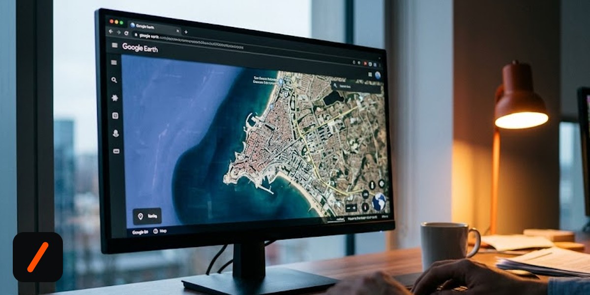
Google switched off the AI image generator it had put inside Google Earth, roughly 24 hours after turning it on. The rollback was confirmed on Friday afternoon, after open source intelligence researchers spent a day showing that one typed sentence could paste a photorealistic nuclear plant, refugee column or bombed hospital onto real satellite imagery of a real place.
The feature went live globally on Google Earth for the web on Thursday, July 30. It ran on Nano Banana 2, the same Gemini image model Google has been pushing everywhere this year. You zoomed to a location, captured the current map view, described what you wanted, and the model returned an edited version of that view. Google pitched it at urban planners sketching a park onto an empty lot, at real estate teams, at anyone reconstructing a city as it looked centuries ago.
RelatedGoogle DeepMind Maps All 9 Billion Human DNA Mutations
What did Google actually say when it pulled the feature?
The company's statement is short and worth reading closely, because it draws the line at sharing rather than at generation: "We've seen geospatial professionals using this feature for a range of useful purposes, however we've also seen people sharing screenshots of generated imagery that appear to violate our policies. We're rolling back this feature in Google Earth while we work on implementing stronger guardrails."
Note what triggered it. Not a regulator, not a lawsuit, not an internal red team. Screenshots. The thing Google flagged as the problem is the exact artifact its safety design could not survive.
- Live for about one day. Launched Thursday July 30 on the web, rolled back Friday July 31.
- The safeguard was SynthID, Google's invisible watermark, plus an on-canvas label. Neither one is legible once someone crops and reposts a JPEG.
- OSINT researchers, not trolls, broke it. Henk van Ess and BBC Verify were among the first to publish fabricated scenes on real coordinates.
- Google Earth's own credibility was the payload. A fake image sitting on a trusted basemap borrows that map's authority.
Why is fake satellite imagery worse than any other deepfake?
Because of what the basemap is used for. Google Earth is not a toy for most of the people who care about this. It is load bearing infrastructure for conflict monitoring, war crimes documentation, disaster response and newsroom fact checking. When a video surfaces claiming to show a strike on a hospital, the standard verification move is to pull the satellite view of that block and check whether the roofline, the parking lot and the shadow angles match. That check only works if the reference imagery is assumed clean.
Henk van Ess, writing on his Digital Digging newsletter, put the asymmetry better than anyone: removing one real building from Google Earth takes a government request. Adding a fake one took a sentence. He generated a nuclear plant in Iran, a crowd at the US-Mexico border and a fatal crash on an Amsterdam street. Other testers produced Russian tanks in Kyiv, a bomb crater at a Gaza hospital, Cuban missile silos, a toppled Eiffel Tower and a sinkhole under the Great Pyramid. The account OSINTtechnical called the effect on satellite imagery credibility catastrophic.
Van Ess also named the mechanism that makes this different from a Sora clip or a face swap: the image inherits the credibility of the map it was born on. A random fabricated photo starts at zero trust and has to earn its way up. This one started inside the tool investigators use to check other people's claims.
Did SynthID fail, or was it never the right tool here?
Google's first line of defense was that every image generated in Earth carried a SynthID watermark, with Gemini and Lens offered as the way to check one. Invisible watermarking is real engineering and it does survive a lot of ordinary handling, including mild compression and resizing. That is not the issue.
The issue is who does the checking. A watermark only helps if the person looking at the image both suspects it and knows to run it through a specific vendor's detector. Nobody scrolling a feed during a breaking event does that. Worse, when reporters tried the check Google recommended, Gemini would not commit: one test on a shared image came back saying no reliable signals were detected. A provenance system that returns a shrug to a journalist under deadline is not a provenance system, it is a press release.
| Provenance signal | SynthID (invisible) | On-image label | C2PA credentials | EXIF metadata |
|---|---|---|---|---|
| Survives a screenshot | Usually | No | No, stripped | No, stripped |
| Survives crop and re-encode | Often | No, croppable | No | No |
| Checkable without a special tool | No | Yes, by eye | No | No |
| Gave a clear answer in reporters' tests | No | Gone by then | Not present | Not present |
Read down that table and the design flaw is obvious. The one signal robust enough to survive redistribution is the one no ordinary reader can query, and the one any reader can see is the first thing a crop removes.
How fast did this go from launch to rollback?
- Jul 30Nano Banana 2 image generation goes live in Google Earth on the web, worldwide pitched for planning, real estate, historical reconstruction
- Jul 30-31OSINT researchers and BBC Verify publish fabricated scenes on real coordinates nuclear plant in Iran, border crowd, bombed hospital, Kyiv tanks
- Jul 31Google points to SynthID watermarking as the safeguard testers find the check inconclusive on reshared crops
- Jul 31Feature rolled back "while we work on implementing stronger guardrails" roughly 24 hours after launch
- NextRelaunch with guardrails, scope and timing unstated watch whether generation stays inside Earth at all
What does this mean for Alphabet and the rest of the model vendors?
Financially this is noise. No revenue line depended on drawing a park onto an empty lot in Google Earth, and Alphabet shipping and unshipping a free web feature inside 24 hours does not move the stock on its own. The signal for investors sits one level down, in shipping discipline. Google put a general purpose image editor on top of a dataset that thousands of institutions treat as ground truth, and the failure mode was predicted publicly within hours by people who use that dataset professionally. That is a review process question, and review process questions compound as the same model gets wired into Maps, Search and Workspace.
RelatedGoogle Kills Imagen 4 API and the Swap Is Not Drop-In
The competitive read matters more. Every vendor racing to bolt image generation onto a reference product now has a concrete precedent for where the line is. Editing photos of your own dinner is fine. Editing the canonical picture of a place is a different category, because the output is not consumed as art, it is consumed as a claim about the world. Expect the next wave of these integrations to arrive with hard geofences around conflict zones, critical infrastructure and disaster areas rather than a watermark and a policy page.
Who actually has to deal with the fallout?
Verification teams, mostly, and the damage does not reverse when the feature does. Thousands of these images were generated and downloaded during the day the tool was live, and they are already sitting in camera rolls and group chats. The rollback stops new ones. It does nothing about the existing stock, which will keep resurfacing during the next border incident or airstrike claim, stripped of context and impossible to trace back to a prompt.
There is also a second order cost that is harder to measure. Once a public knows fake satellite imagery is easy, real satellite imagery becomes deniable. That is the liar's dividend, and it lands on the same investigators the tool undermined. A war crimes researcher now has to argue for the authenticity of genuine imagery in front of an audience that has seen a convincing fake of the same building.
- Whether it returns at all. "Stronger guardrails" is doing a lot of work in that statement. A prompt classifier blocking military and disaster terms is the cheap fix, and it is trivially routed around with euphemism.
- Geofencing over filtering. The defensible version blocks generation on coordinates near borders, conflict zones, nuclear sites and critical infrastructure. Watch whether Google ships location gating rather than word gating.
- Visible provenance that survives a crop. A corner watermark is not enough. A border, a diagonal overlay, or a forced aspect change would survive redistribution in a way SynthID cannot demonstrate to a reader.
- Regulator interest. The EU AI Act's transparency obligations for synthetic media are the obvious hook, and a 24 hour launch and retreat is an unusually clean case study to cite.
Our take
Pulling it in a day was the right call and Google deserves the credit for moving that fast. But the speed of the retreat is also the tell: this did not need a day of public testing to predict. The people who use Google Earth as evidence had been saying for years that the value of the product is precisely that nobody can edit it. Shipping a prompt box into that product inverted its core property, and no watermark was going to fix a trust problem by being invisible.
The broader lesson for anyone building on top of a reference dataset is unglamorous and worth writing down. Generation features are safe where output is understood as fiction and dangerous where it is understood as record. Maps, medical images, legal documents and archival photography all sit on the record side of that line. Getting the classification right is a product decision that has to happen before the model integration, not after the screenshots.
- OfficialTransform any place with Nano Banana in Google Earth Google's launch announcement, July 30
- ReferenceSynthID Google DeepMind's watermarking system, the safeguard cited
- ReportGoogle nixes its Earth AI feature one day after launch carries Google's full rollback statement
- ReportGoogle pauses AI satellite images after deepfake fears NPR, expert reaction and verification context
Original analysis by GenZTech, reported Friday July 31 as the rollback landed. Rollback statement via TechCrunch.